Put a second number next to the one the mine reports.
The mine's monthly report tells you how much came out of the pit. Pit Progression measures it again from two elevation surfaces of the same pit, a month apart, so the figure in your reporting pack has a source nobody on site controls.
- GSD
- VHR / ≤0.5 m
- Cadence
- Monthly
- Platform
- VHR satellite / aerial
- Spectral
- Panchromatic
The month-end report
The operator closes the month and sends material moved against the mine plan. You read it, but you had no part in producing it. The survey pickup, the haul records and the reconciliation all sit on the other side of the fence.
If the pit looks behind plan, or a covenant test leans on the figure, your options are to ask the site, or to commission a visit or an independent survey. Neither fits inside the time the reporting pack allows, so the operator's number goes in as given.
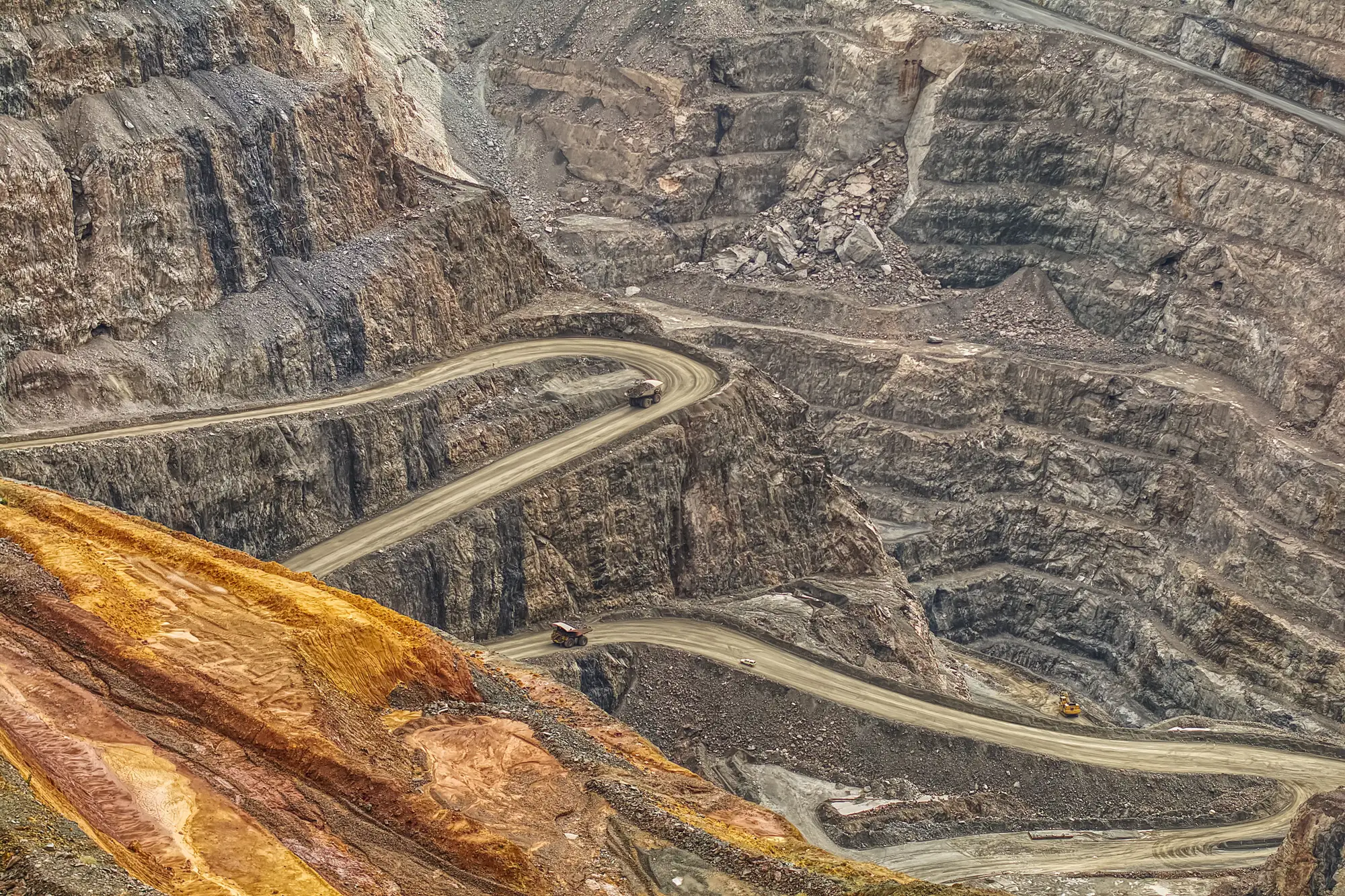
The same month, read two ways
01Getting the month's number
The mine's reportThe operator reports material moved, built from its own survey pickup and haul records.
With Pit ProgressionA volume from this month's elevation surface differenced against last month's, over the pit shell you drew. Nobody on site produced it.
Still yoursThe operator's report stays. You now have a second figure to read it against.
02Setting it against the mine plan
The mine's reportYou lay the reported figure beside the mine plan's forecast for the month and ask the site about the gap.
With Pit ProgressionThe measured volume set against the plan line you supply, so the gap comes with its own source.
03Covenant and reporting pack
The mine's reportThe pack carries the operator's figure as reported.
With Pit ProgressionA line item built from surfaces the operator can't adjust, sitting beside the operator's own number.
04Checking where it came from
The mine's reportTo see where material moved, you ask the site or wait for a visit.
With Pit ProgressionThe two elevation surfaces come with the figure. Your own planner or the lender's adviser can open them and see which benches changed.
05Trend across months
The mine's reportA folder of monthly reports, each built the way the operator built it that month.
With Pit ProgressionA running month-over-month series, every month by the same method over the same pit shell.
06Reserves and regulatory reporting
The mine's reportThe operator's signed survey.
With Pit ProgressionThe same certified survey. Pit Progression is a monitoring input and never stands in for it.
Still yoursReserve statements, legal and regulatory reporting, and anything a signed survey is required for.
What lands each month
One figure and its working, for the pit and reporting period you set.
- Volume figure
Monthly extraction volume
Material moved out of the pit between this month's surface and last month's, for your pit shell. It goes in the reporting pack next to the operator's own number.
Row 01 · Getting the month's number - DEM
The two elevation surfaces
The this-month and last-month surfaces the figure was differenced from. Your planner or the lender's adviser can load them into the software they already run and check the working.
Row 04 · Checking where it came from - Plan variance
Variance against plan
Measured volume against the plan line you supply for the month, so the reconciliation conversation starts from a stated gap.
Row 02 · Setting it against the mine plan - Month-over-month series
Running series
Every month's figure in one table, for trend reporting and covenant tests that look back across months.
Row 05 · Trend across months
Through the reporting month
You define the pit once. A figure comes back each month, in time for the pack.
- Once, at the start
Define the pit and the period
Send the pit shell as a boundary file and the month or months you want reported. If you have a plan line, send that too.
- Each month
Monthly stereo capture
A very-high-resolution satellite or aerial stereo pass over the pit. Cloud or poor sun angle on the capture day can push it to the next window.
- Each month
Surfaces differenced
This month's elevation surface against last month's, inside your pit shell. The height change becomes a volume.
- Each month
Figure delivered
The volume, the two surfaces and the variance against your plan line, ready before the reporting pack closes.
What the mine's own report still does better
Read these before you put the figure in a covenant pack.
Geometry only
Imagery at this tier measures the shape of the pit and nothing inside it. Panchromatic stereo can't separate ore from waste or give you grade, material type or mineral content. The operator's own records still do that.
A month at a time
The figure compares two dates. Material that moved in and out between them, or was dumped and reclaimed, doesn't show. Whatever the operator logged in between is outside the figure.
Resolution and height
At 0.5 m or finer the pit's overall shape comes through. Small height changes across a large area are the hard part: a change close to the elevation model's own height error can't be told from noise. We'll go through what that means for your pit before you rely on the figure.
Shadows and sun angle
A stereo pair needs contrast. Deep pits with hard shadow on the floor or walls can produce gaps in the surface on the capture day, and those gaps are flagged, not filled.
Cloud and capture dates
We plan to a monthly cadence. A pass can slip behind cloud over the pit, and we can't promise a capture date.
Not a certified survey
Pit Progression is an independent monitoring input. It doesn't replace the signed survey that reserve reporting or regulators require, and it carries no accuracy percentage on this page.
Switch if
- You plan the pit and want a month-end figure that didn't come from the people being measured.
- You monitor a loan or an investment against the mine plan and need a number for the covenant pack that didn't come from the operator.
Stick with the mine's report alone if
- You need grade, tonnes of ore or recovery. This reports volume from geometry.
- You need a certified survey for reserves or regulatory reporting.
- You need to see what moved in a single day or shift. The figure compares two months.
Before you add it
Does this replace the operator's report?
No. It sits beside it. You get a second figure built from a different source, and the operator's report stays in the pack.
How do we check it against what the mine reports?
Set the two figures side by side for the first few months. Where they differ, open the two elevation surfaces and look at which benches changed. If a month looks wrong, send it back and we'll go through that month's imagery with you.
What happens if it's cloudy on capture day?
The pass can move to the next window, so a month's figure can arrive late. We can't promise a capture date.
Does it tell me ore grade or material type?
No. Panchromatic imagery gives geometry only: height, and so volume. Grade and material stay with the operator's own records.
How precise is a figure built from 0.5 m imagery?
We don't quote an accuracy percentage here. What the imagery resolves, and where small height changes get lost in the model's own error, depends on the pit, so we go through it with you before the first month.
Do shadows in the pit cause problems?
They can. Hard shadow on the floor or walls weakens a stereo pair, and gaps in the surface are flagged in the delivery, not filled in.
Can the figure go in a covenant certificate or reserve report?
It's an independent monitoring input. The signed survey your reserve or regulatory reporting relies on is still the signed survey. How your facility agreement treats an outside figure is a question for your counsel.
Will it open in our planning software?
The elevation surfaces come as standard raster files that mine planning and GIS software open, and the series as a table. There's no direct integration.
Who owns the outputs, and does the mine need to agree?
No access to site is needed to produce the figure. The use of the outputs and the licence on the imagery behind them get written into the project agreement before the first month runs.
How is it priced?
It depends on the size of the pit and how many months you want covered, so we quote after we've seen the pit shell. There's no price list on this page.
Get this month's number.
Send the pit shell and the month you want reported, plus the plan line if you have one. We'll scope the monthly run from there.