How to check a satellite pit volume against the surveyor's monthly pickup
A practical walkthrough for lining up a remote-sensed pit volume with the site surveyor's monthly pickup before you flag a gap.
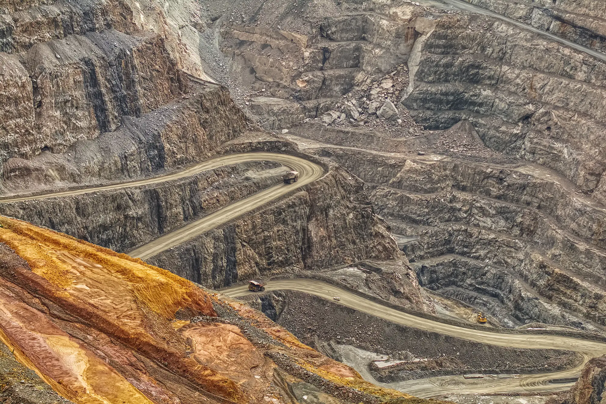
You've got the surveyor's monthly pickup number. Now you want a second number that didn't come from the same crew, the same instrument, or the same incentive to hit plan. That's the point of running a satellite or aerial stereo volume alongside the ground survey. Putting the two side by side isn't as simple as subtracting one from the other and calling the difference an error. Here's what has to line up first.
Know what each method measured
A ground pickup is built from discrete points. The surveyor walks or drives the pit with GPS or a total station, picks up break lines, toes, crests, and bench faces, and software interpolates a surface between those points. Where the crew didn't walk, the surface is a reasonable guess. Haul roads, standing water, recent blast rubble, and areas closed for safety reasons often get skipped or approximated.
A satellite-derived volume comes from stereo imagery processed into a dense elevation surface across the entire pit footprint, not just the points someone physically visited. It doesn't care about ramp closures or wet benches. It also doesn't know which material is loose blast muck sitting on bench versus in-situ rock, so it reports an elevation change. That change still needs a density or swell factor applied to get to tonnes, same as any survey-based volume does.
Neither method measures the pit directly. Both are models of a surface, built different ways. Settle that before comparing the numbers.
Match the period, the boundary, and the datum
Most of the mismatches between a remote-sensed check and a ground pickup trace back to three things that never got lined up:
Reporting period. If the surveyor's pickup runs calendar month and your imagery pair was captured four days late, you're comparing different windows. A few days of production at a pit moving material daily is not noise.
Pit boundary. Make sure both volumes are clipped to the same toe line. Surveyors sometimes include or exclude a haul road, a stockpile apron, or a section under active permitting dispute. If the elevation surfaces don't share a boundary, the volumes won't match regardless of accuracy.
Vertical datum and coordinate system. This sounds basic until you've chased a volume discrepancy for a week and found the ground survey referenced a different benchmark than the satellite-derived DEM. Confirm both are reporting elevation the same way before anything else.
Once period, boundary, and datum are aligned, you're comparing two models of the same surface over the same time. That's when a gap means something.
What a gap is telling you
A difference between the two numbers isn't automatically a red flag. The ground survey may have missed a section of the pit that was closed that month. The density factor applied to one of the volumes may not match the material actually being moved. Or the reported extraction and the measured extraction genuinely don't agree, which is the scenario a lender or a planner is checking for.
What you want is a volume number built independently, from a dataset the mine itself didn't collect or process, alongside the two elevation surfaces that produced it, so you can see where in the pit the difference sits rather than trust a single subtracted figure. That's a different exercise than waiting on next month's pickup to see if the number corrects itself.
If you're the one reconciling a mine plan or a loan covenant against what's coming out of the ground, a monthly volume read built independently of the site's own reporting gives you something to check the pickup against, elevation surfaces included, before the gap becomes a conversation you're having after the fact.
Run your next pickup against an independent read and see where the two surfaces agree.